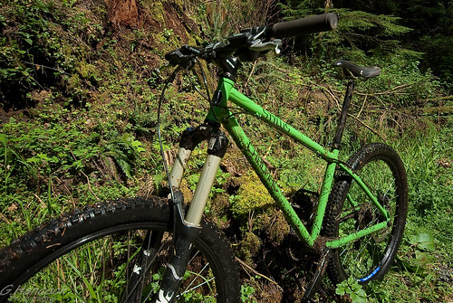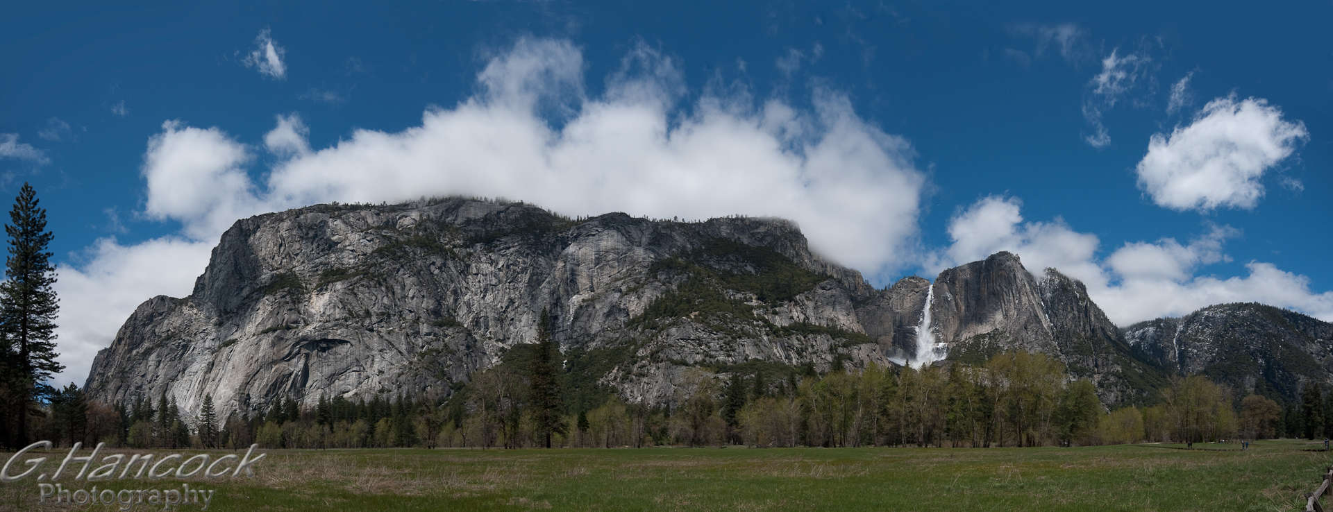
Why is this cool? With sites like flickr, you can click on the photo, see where it was taken on google maps. Great for trips, when you travel abroad and take a million photos. Now you can see that, that great sunset was in Madrid not Barcelona, or for mtn bikers with a few too many knocks on the head you can create maps WITH pictures of the trail head, so when the little map says take the third left and there's a picture of what the third left looks like, its pretty hard to mess up!
I am using a Lightroom plug in by Jeffrey Friedl as one of my trial methods for embedding this info. This is a donation ware product and I use his Flickr plugin as well.
The other is with GPICSYNC a freeware product.
I don't have much of an informed opinion to make about these two software pieces as I've just scratched the surface of this new addition to my toolkit. Stay tuned for more!
GPS embedded photo on Flickr


No comments:
Post a Comment